| Version française | Versione Italiana |
When you want to create a scenery, an airport, one of the most difficult things is to obtain documentation with all the dimensions of all elements you will create. The tool ImageJ can help us.
This tool was made by scientists for scientists. Writen in
Java, you can use it on Windows as well as Linux and MacOS
X, like X-Plane. This program is public domain, free to
use.
You can download it here :
http://rsb.info.nih.gov/ij/
ImageJ allows us to do a lot of things but we will only use a small partie of all it can do. As an example, we will try to find the values to build a hangar at Dreux LFON.
From the menu File / Open or with the shortcut Ctrl-o we open the image file.
The first thing to do is to set the scale of the image.
The best is to have a scale to check in the image itself.
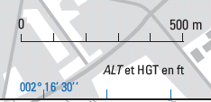
If we don't find a scale, we need at least one known length. For Dreux airfield, I know that the runway is 720 meters long.
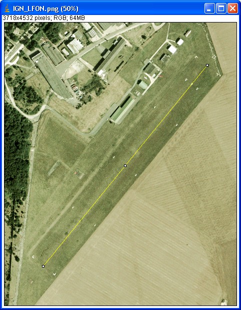
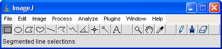
I set a line from the begining to the end of the runway.

|

|
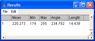
Now, in the menu Analyze / Set Scale I enter
the distance between the two points, 720 m.
Et voilŕ !
Tip : as the measures are based on pixels, it is better to set the scale on a great number of pixels. It will be better for precision.

|
|
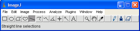
For measuring, we use again the Line tool.and then do Ctrl-m. In the new window, we get the converted length.
Usefull remark : close to the length we see the value of the angle. We will use it later in World-Maker to set the object orientation.
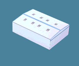
We can use ImageJ on a map or an aerial picture but we can also use it on other pictures. Let see how to know the hangar height.
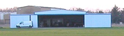
As we know the hangar width, we can use it now to set the scale of this new picture.

|

|
Now we only have to measure the side and the center heights.

|
||

|

|
With ImageJ and a good documentation, we are sure that this hangar will have the right size.